In this article we explain how it’s being used and the impact it’s had on surveying work the last few decades.
A BRIEF HISTORY OF SURVEYING
While surveying has been a well-known profession for hundreds, maybe thousands, of years, the surveyor toolkit looks a little different today than it did back then. Historical surveyors started out using just a simple rope and metal rod, whilst land surveyors today have access to some highly complex technologies, including drones and laser scanners. However, what has arguably propelled the profession forward the most is the Global Positioning System—also known as the GPS.
WHAT EXACTLY IS GPS TECHNOLOGY?
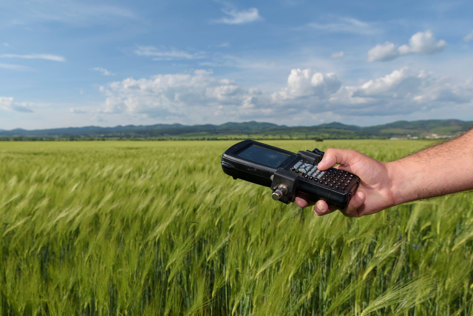
GPS surveying involves measuring, mapping, and modelling the physical world with the assistance of GPS (Global Positioning Systems). Using signals from satellites, a GPS system is a highly sophisticated navigation system providing information that allows us to determine a location and time on earth. It does this by transmitting satellite signals from space to ground-based receivers, which then calculate the latitude, longitude, and height of the receiver. By calculating the changing position of a receiver over time, the GPS system is also able to determine speed. GPS can triangulate the signal and provide an accurate location regardless of local weather conditions.

GPS IN SURVEYING WORK
Today, most people have a GPS system in their car, smartwatch, or mobile phone, but not many know that surveying was one of the first commercial adaptations of the technology. This was because of its ability to obtain latitudes and longitudes without measuring distances and angles between points.
Surveying professionals rely on this GPS navigation system to quickly and accurately provide the data required for use in mapping and surveying work across a range of industries, developments, and applications.
With this technique, survey control can now be established almost anywhere with the only condition of a clear views of the sky (so the signal could be received clearly), in contrast to conventional surveying techniques which was heavily dependent on weather aspects.
There are many uses for GPS in surveying, including:
- To determine a position (location).
- Moving from one place to another (navigation).
- Monitoring the movement of an object (tracking).
- Creating maps (mapping) and time measurements (timing).
Its versatile use is why it has become standard practice for any surveying operation.
HOW DO SURVEYORS MAKE USE OF GPS?
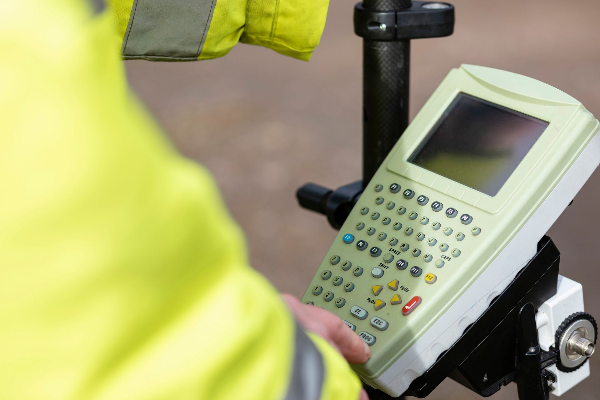
The problem with traditional surveying is that it requires a clear line of sight between survey stations. GPS surveying does not have this limitation. Modern surveyors mainly use these 3 different methods of GPS measurement:
1. Static GPS Baseline
By recording GPS observations over survey points for a minimum of 20 minutes, a surveyor can read the subsequent data and determine accurate coordinates (better than 5 mm) for the survey points.
2. Real-Time Kinematic (RTK) GPS Observations
This method is similar to the baseline method, except only one receiver remains in a static position called “the base station,” while the other moves between positions, called “the rover station.”. It provides similar accuracy to baseline surveying but can compute and store a position within seconds using a radio link.
Accuracy is ensured by collecting data at both stations and then correcting the data in real time. With this method, the exact position of the base station is known, so any variations can be used to correct the position of the rover station in real time.
RTK technology provides accuracy to the centimetre and eliminates the possible occurrence of human errors caused in traditional surveying.
3. Continuously Operating Reference Stations (CORS)
For this method, the GPS receiver is permanently installed at a specific location (called the CORS) as a starting point for any future GPS measurements in that area.
This allows measurements to be taken anywhere within a district using the permanently fixed base station as a starting point.
Field data received and calculated using GPS technology can be combined with CORS data to accurately calculate positions.
If multiple CORS are available, receiver data may be compared to the data of the different CORS to achieve even more accurate results.
WHAT ARE THE BENEFITS OF GPS SURVEYING?
GPS surveying has many benefits. Here are the main reasons modern surveyors choose GPS technology for their surveying needs.
Flexibility
Unlike conventional surveying techniques, GPS surveying can function regardless of visibility. If survey stations are out of each other’s sight due to line-of-sight issues or weather, GPS technology can still measure their positions and provide accurate location data.
The only downside is that GPS stations need to access satellites with a clear line of communication, limiting the utility of GPS surveying in areas with trees or tall buildings.
Mobility
GPS systems are fairly mobile, able to be carried inside backpacks or mounted on vehicles to collect data quickly and over a wide area. When combined with CORS systems, mobile GPS survey equipment can provide real-time data.
Speed
GPS technology is extremely fast compared to the old surveying techniques that relied on extensive measuring, calculations, and a clear line of sight. The ability to gather data quickly allows survey teams to get faster results, and the client organisation can reduce decision time.
Accuracy
Using sophisticated GPS technology combined with expert surveyors and high-quality software, you can achieve high levels of accuracy every time.
LOOKING FOR PROFESSIONAL SURVEYORS?
The quality and level of accuracy of modern-day surveying measurements are dependent on the tools and devices used to gather data. With the invention of GPS technology, our experienced land surveyors in Canberra & Sydney are able to make complex calculations within a few days with a couple of surveyors and a GPS receiver.
Contact Bereza Surveying Canberra & Sydney
Bereza Surveying has continuously adopted the latest surveying hardware and software technologies, and are proud to be at the forefront of survey management, utilising GPS surveying and robotic/drone surveying equipment. To find out more about how we can help your project, contact our friendly team on 0412 419 508 or email us at info@bcsurveys.com.au.
For precise and reliable GPS surveying services, trust our team to deliver accurate data for your project’s success.
Contact us today on 0412 419 508 for expert assistance.