Land Surveying FAQs
What is land surveying?
Land surveying is the practise of measuring and mapping the environment with help of specialised technology, software and mathematics.
Commonly, the information gathered is used in determining property boundaries, preparing contour maps or setting out the location of roads, tunnels and buildings. Although we call it land surveying, the practice also covers planning and charting the sky and the oceans.
What is the role of a land surveyor?
A land surveyor’s role is to determine land size and relating measurements, which is required to guide the work of engineers, architects and developers. Land surveyors are needed for a broad range of construction projects, from land subdivisions to mineral exploration. Land surveyors are also required to know the legal framework surrounding land ownerships, boundaries and development. They ensure proposed plans for a project are in line with the applicable laws.
Is surveying important?
Along with engineers and architects, land surveyors play an integral part in the structuring of our surroundings. By measuring and mapping the land, they lay down the groundwork for any development or construction, residential or commercial, including mining, subdivisions, roads and more. Surveyor measurements are utilised by engineers to safely and efficiently plan any structure or project. Surveyors also advise on legal requirements for any project and ensure regulation is adhered to.
Why should I hire a licensed or registered surveyor?
If you are building, renovating or subdividing, chances are you do need a surveyor’s help. They will be able to provide you approval for your project and ensure it is safe and structurally sound. Land surveyors are experts in land management law, titles and planning, and is the only profession authorised by the government to legally define boundaries and prepare subdivision plans.
Be careful to use a registered surveyor as you can get issues down the track relating to structural encroachments, violations and building compliance. Your insurance may also not cover work surveyed by a non-registered surveyor.
When do you need a surveyor?
There are many instances you may need a land survey performed on your property. This applies for both commercial and residential property owners. Here are some of the instances where you may need to call a professional surveyor:
- When developing a strata title plan
- For large scale development involving roadworks and large-scale construction
- To establish the position of your property boundaries / wanting to build on or close to the boundaries
- When documenting the land and buildings on the land
- Subdividing
- To create an easement over your property
- To determine the levels of your land.
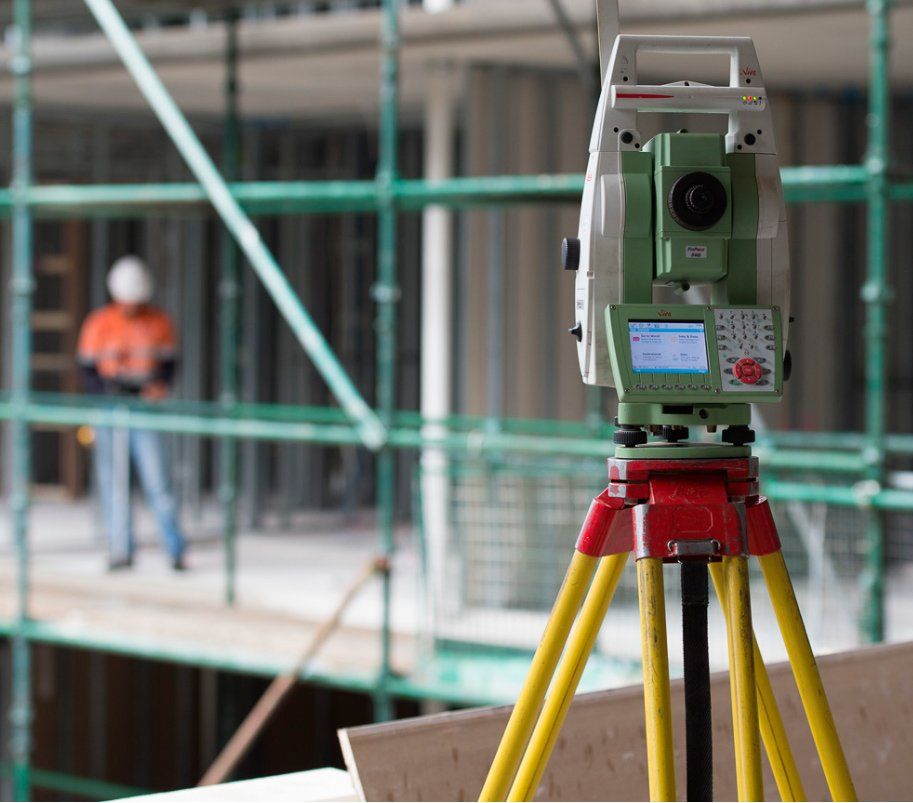
What are some of the tools and technology a surveyor utilises?
The tools used by today’s land surveyors differ vastly from the tools used a few decades ago. The advancement of new technology has provided surveyors with the ability to measure and report data more efficiently than ever before. Some of these advancements include 3D laser scanners, drones and GPS navigation systems.
3D laser scanners help surveyors better understand the shape of the land and objects on the land such as buildings. Surveyors provide the data to architects who then can accurately visualise the land they are going to build or design on.
Surveying professionals nowadays rely on GPS navigation systems to quickly and accurately provide the data required for use in mapping and surveying work across a range of industries, developments and applications. To learn more about the main methods of GPS measurement in surveying, read our recent blog post: GPS Surveying Explained
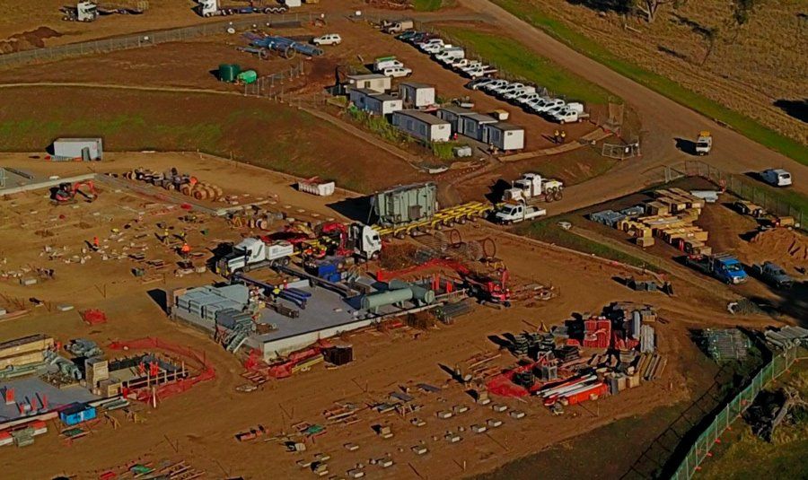
Drones are the most commonly used tool for land surveyors for photography and mapping, and are used for large-scale sites, difficult to access sites, and detailed buildings where the traditional survey is unfeasible, such as heritage sites. Drones provide the same functionalities as conventional aircrafts but are easier to navigate and much cheaper to use.
More Information:
Bereza Surveying provide professional land surveying services in Canberra and surrounding areas, including Sydney and greater NSW. For more information about land or aerial surveying please contact us on (02) 6228 1038.
Call us on:
02 6228 1038
Email us:
info@bcsurveys.com.au
Address:
Unit 10-11 Molonglo Mall,
105 Newcastle St, Fyshwick, ACT 2609
More about us:
Our operating hours:
- Mon - Fri
- -
- Sat - Sun
- Closed